Tap Water Database
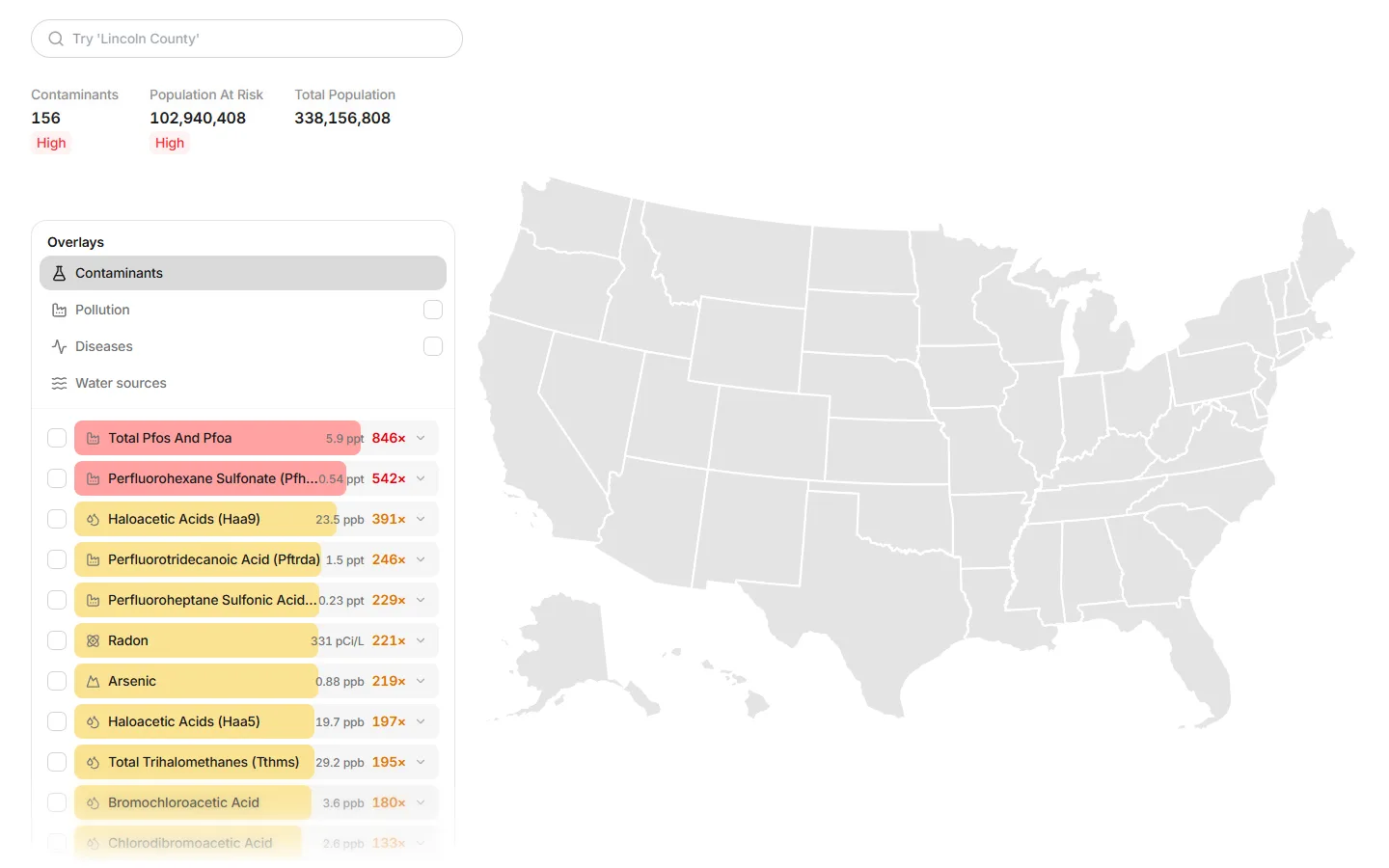
Tap Water Database, from Captiva Verde, answers one question for anyone in the U.S.: what is in my tap water? Type a ZIP code or a county and the map shows the contaminants reported for local water systems.
Product context
One question, not a dataset.
Water quality data is public but unreadable. The product's job is to turn it into an answer a person gets in seconds: how many contaminants, how serious, and who is affected.
COET's contribution
Web
The public site and its search, from the whole country down to a ZIP code.
Interface
The map, its overlays and the ranked contaminant list.
Landing pages
The pages that introduce the database.
Search
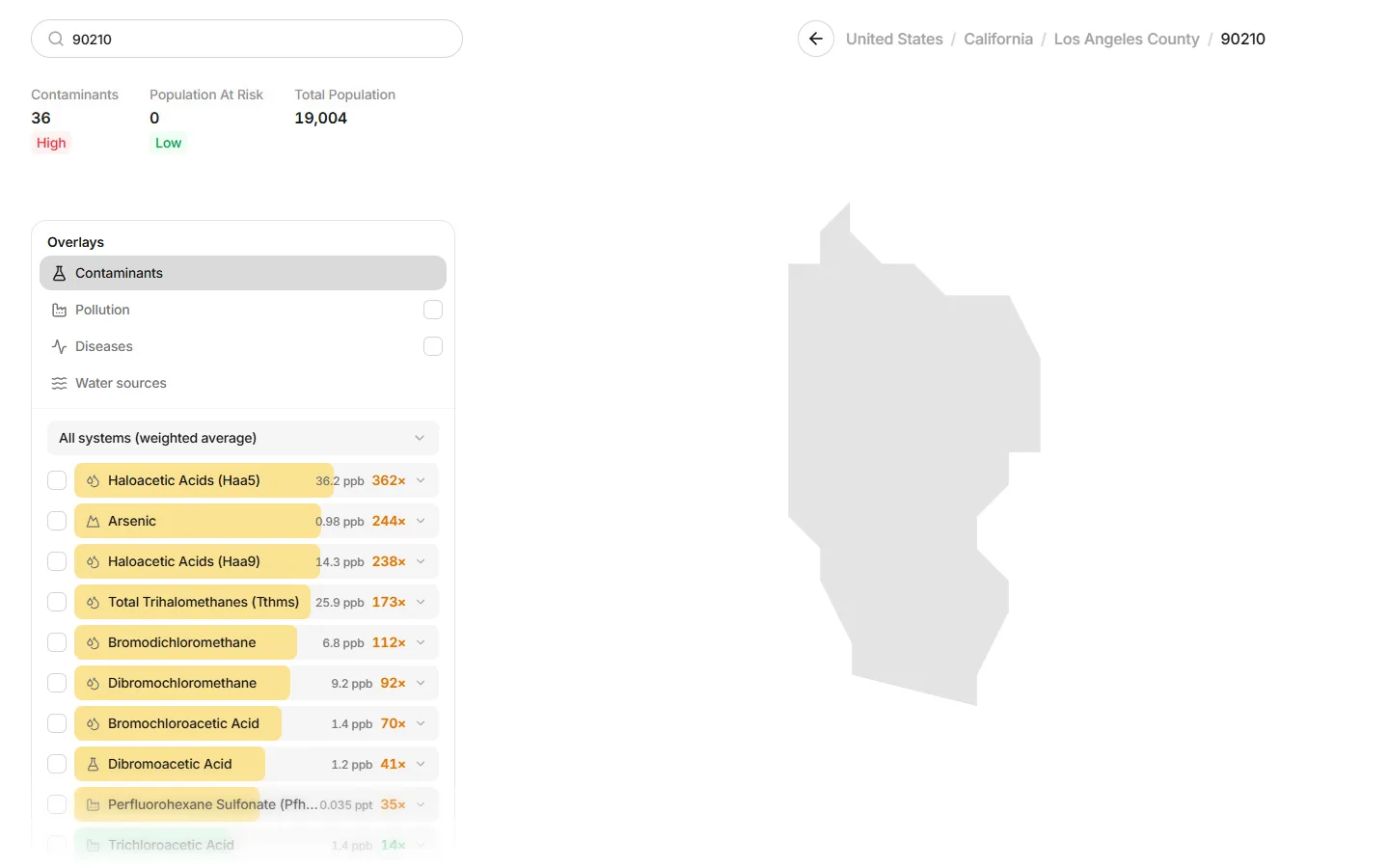
From the whole country to one ZIP code.
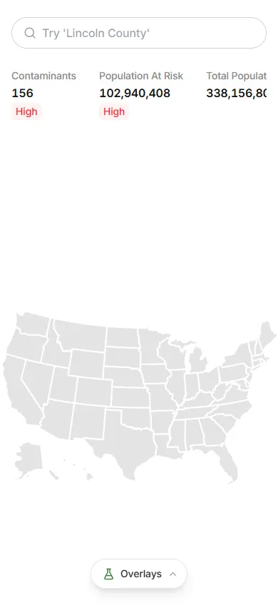
Each place shows how many contaminants were found, the population at risk and the total population, with a severity marker on each, then a ranked list of every contaminant across its water systems.
Key features
- 01
ZIP and county search
Straight to a place in one step.
- 02
Map overlays
Contaminants, pollution, diseases and water sources.
- 03
Ranked contaminants
Each with its level and a severity multiple.
- 04
At a glance
Contaminants, population at risk and total population.
- 05
System averages
Weighted across a place's water systems.
- 06
Drill down
Country, state, county, ZIP.